
How to Make a GPS Navigation App? According to BIS Research, the global automotive navigation systems market is expected to grow up to approximately $35 billion by 2021.
How to make a GPS navigation app? Today, there is a rising concern about the global challenges with traffic congestion, reaching places quickly, and searching for the fastest routes.
These present-day problems open up fantastic opportunities for you to take this navigation niche into the mainstream business.
With navigation apps in place, the world has gone mobile. Today, people do not have the fear of getting lost in new cities because they know that they have a phone with the entire world mapped in their hands.
To create a navigation app, you need to make sure that your application is quick and facilitates easy navigation. How to make a GPS navigation app? Hiring skilled and experienced app development teams to build your navigation app is the best way to go about it.
Here are the steps you need to follow to out shadow all the savage navigation apps out there!

Step 1: Defining the core Navigation App Features
GPS Navigation
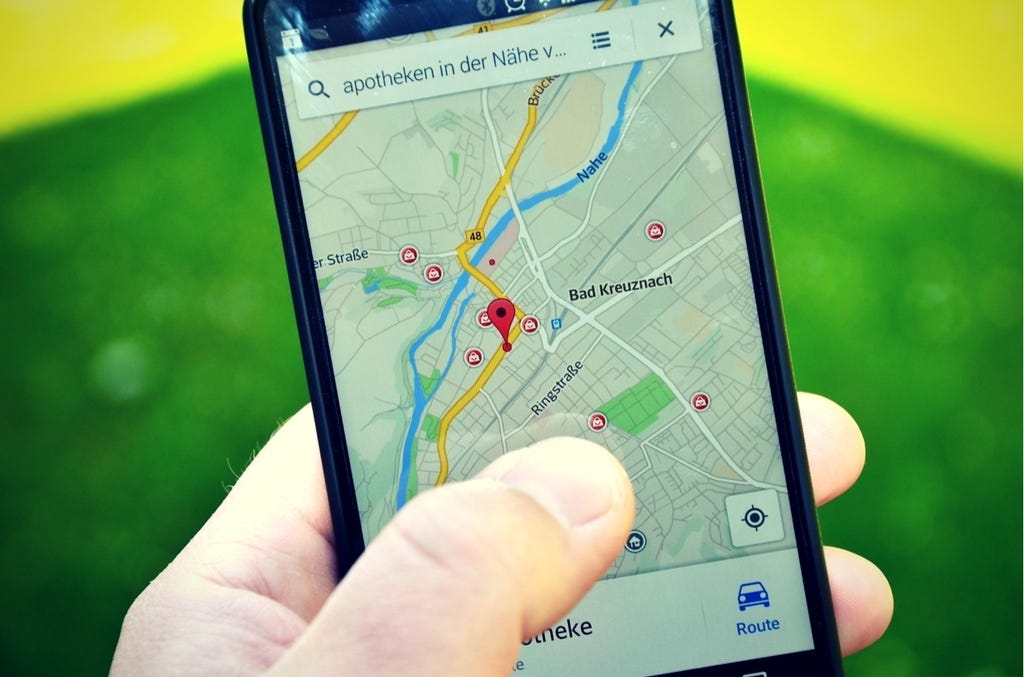
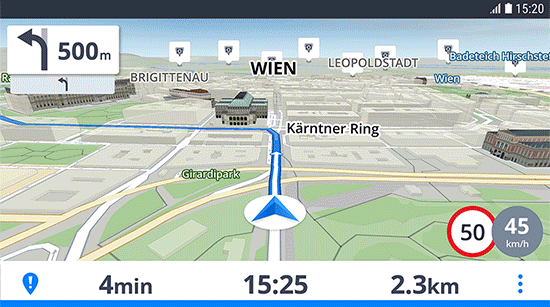
GPS Navigation is the most vital feature of your planned navigation application. Using this feature, you will be able to create multiple routes for each destination point while defining the best path.
Moreover, the app would also be able to calculate the estimated time of arrival for drivers primarily because smartphones are equipped with sensors and GPS that track the driver’s speed.
Also, for better user experience, consider jumping between 2D & 3D map views, use different icons to pinpoint accidents, traffic congestions, road repairs, and police barriers.
Notifications
For a smooth driving experience, real-time updates about traffic congestions or accidents are vital.
When users are facilitated with accurate real-time notifications notifying them of situations, they would have the opportunity to change their route, reaching their final destination without any unwanted delays and interruptions.
Add-ons
By incorporating add ons to your navigation app, you would permanently enable users to connect with their known ones, create communities, and share insights.
Integration of add ons would also enable your application to collect on-road information directly from users helping keep a check on traffic activities.
Another benefit of incorporating add ons to your navigation app is that it’ll encourage real-time communication where drivers would be able to confirm reported issues.
To provide such an online interaction, opting for WebSockets technology might be a great idea as it enables two-way communication between a user and a server.
Step 2: Geolocation Data Collection
GPS
GPS is short for Global Positioning Systems. To put it in context, GPS is a combination of connected satellites located on geostationary orbits, and there are receivers built-in to all smartphones.
Using this vivid system, determining the position of a device becomes easy and accurate if there is no internet connection. GPS enables you to reach higher accuracy.
Cell ID
Using Cell ID to determine the exact smart device location by using signals of connected cellular base stations is a traditional method. However, this is not a sure shot method to identify the precise location of a device as the signals can get weaker in unfavorable weather conditions.
iBeacon
iBeacon has the potential to gather geolocation data through buildings and other infrastructures, which helps users navigate accurately through constructions and extensive areas.
IBeacon makes use of geo-targeted alerts in order to facilitate contextual experiences to the app users.
Beacons gather information and transform it into an actionable message. Serving well for an indoor navigation app, it requires robust device connectivity within Wi-Fi or Bluetooth connectivity.
Step 3: How to make a GPS navigation app – Implementing Functions and Features
It is vital to incorporate APIs in order to build a fully packed and functional navigation app. Using APIs would help you focus your resources on coding and designing the application. At this step, you must connect platform-dependent APIs in order to identify device locations, drawing maps, and to display user locations on them.
Features to Include
Map with Geolocation Services
It is understood that for a Gps navigation app, a map is the spinal cord, Right? A map primarily uses the GPS system in order to locate places, objects, and determines accurate locations.
However, to eliminate errors, one can also include functionalities like Cell ID, which is based on data provided by the network operators. When skilled developers combine GPS and Cell ID, the GPS navigation app becomes more precise, eliminating errors.
Voice Instructions
The good part is that Google doesn’t restrict developers with only the standard online map features. Google offers map diffraction API too along with geolocation services. Isn’t it cool?
The API allows a voice to narrate to you the directions for the route in – turn by turn manner.
Use of Voice interface is becoming increasingly popular regardless of whether it is for a mobile app or it is for voice optimization on ecommerce stores! Looking at its popularity, I’d suggest you do anything but miss out on this fantastic feature.
Social Media Integration
You must integrate your GPS navigation app with popular social network APIs in order to enhance user experience. This will also make authorization quick and straightforward for users.
Doing this would also reduce your chances of falling into security or privacy risks as the social network app development team would have taken care of the vulnerabilities.
Also, it is convenient as your users would not have to build a new profile all over again. It is difficult to remember a lot of passwords.

How to make a GPS navigation app – Last but not least
It is not always necessary to reinvent the wheel! Building a navigation app is an apt example of that. Consider leveraging the successful experience of previously made navigation apps in order to save time and cost.
Moreover, Adding on features like planning routes, calculating the speed of the vehicle, and locating gas stations are not very difficult to implement, especially if your app is being built by a team of experienced and dedicated developers.
Key Takeaways
- The global automotive navigation systems market is expected to grow up to approximately $35 billion by 2021.
- For a smooth driving experience, real-time updates about traffic congestions or accidents are vital.
- Add ons encourage real-time communication where drivers would be able to confirm reported issues.
- iBeacon has the potential to gather geolocation data through buildings and other infrastructures, which helps users navigate accurately through constructions and extensive areas.
- Include functionalities like Cell ID in your navigation app, which is based on data provided by the network operators in order to reduce errors and increase accuracy.